New rules governing field manure applications, Wisconsin Administrative Codes ATCP 50 and NR 151, depend on depth-to-bedrock measures. To apply those rules, depth-to-bedrock maps created in the 1970s are currently used over much of the Silurian dolomite in eastern Wisconsin. However, these maps show depth to bedrock at a coarse scale and do not use newer available data. They are therefore out-of-date, overgeneralized, and imprecise.
Updated and current maps are available for some counties with Silurian dolomite, including Kewaunee, Fond du Lac, and Dodge. These maps are generally more accurate than the maps they replace. In addition, there are two ongoing mapping efforts to meet the need for better mapping of depth-to-bedrock. They are an Airborne Electromagnetic (AEM) survey over much of the Silurian dolomite and a more traditional mapping effort in southern Door County. While all of these maps are welcome and needed, there will inevitably be mismatch in interpretation and data between these different maps and data in areas where they overlap and at the boundaries between them. This can potentially lead to confusion as to which map is the better representation.
If a farmer believes the map’s depth to bedrock to be in error at a field, they can contest the map by collecting depth-to-bedrock data following prescribed data collection methods and standards. If the new data are incorporated with existing data, they have the potential to improve the accuracy of the existing maps. Otherwise, an inaccurate map remains the standard for the neighboring fields.
The Wisconsin Geological and Natural History Survey (WGNHS), a program of Extension, addressed these issues by:
Combining the existing and newer maps and AEM data and interpretation into a single map over the Silurian dolomite
We have compiled the existing maps and AEM data and interpretation into a single geodatabase. The recently acquired AEM data were used and joined with the maps. The density of the AEM data is far greater than that used to generate the existing maps. As such it has been invaluable and was used to “fill” data gaps and provide confirmation of the depths-to-bedrock in the existing maps. We believe review is essential to creating accurate maps. We submitted the updated map for external review to ensure its accuracy and suitability for the Department of Agriculture, Trade, and Consumer Protection’s (DATCP) uses. The reviewers included those with expertise in geology and the area of the map under review, such as county conservationists, geologists, and agronomists.
Developing a procedure to incorporate future depth-to-bedrock data generated by farmers and their consultants contesting their field depths into the single map
This process is ongoing and will be conducted annually in the near future. The data from fields where the depths-to-bedrock are contested will be submitted to the counties and DATCP for review. That data will then be incorporated into the maps so that they have the best and most up-to-date data. If the data meet the regulatory review requirements, it can then be passed to the WGNHS to be incorporated into the combined single map. We expect these data will inform areas beyond the immediate field and so improve the overall map accuracy.
Acting as a resource for county, state, and private individuals seeking information on depths-to-bedrock
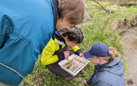
Currently there are few resources available for those with depth-to-bedrock questions. We answer questions that county and state regulators, private citizens, and farmers and their consultants have posed. We offered presentations on depth-to-bedrock mapping to groups such as the Natural Resources Conservation Service (NRCS), Department of Natural Resources (DNR), and county conservationists. We plan to provide similar presentations to agronomists working in the Silurian dolomite.
Better Maps for Health & Agriculture
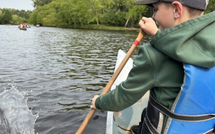
This effort was needed because it allows for better application of the rules governing land spreading of manure over the Silurian dolomite by producing a more accurate map of depth-to-bedrock over the Silurian dolomite in eastern Wisconsin. In areas where mapping underestimates depth-to-bedrock, needless spreading restrictions are applied, reducing available acres for agriculture. In areas where mapping overestimates depth to bedrock, excess spreading over thin soils will increase chances of groundwater contamination. This improved map reduces the chances of these errors and the resulting costs to farms and human and ecological health. In this way, it is expected to improve the health of private citizens who depend on private well water for their drinking water needs. It is expected to minimize the economic burden to farmers from the application of the new land spreading rules without jeopardizing human health. It also provides DNR, NRCS, and county conservationists with a needed reference and resource for application of the land spreading rules.