ACS-ED Maps
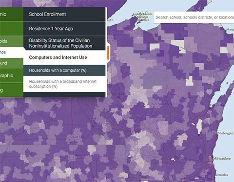
National Center for Education Statistics ACS-ED interactive mapping tool allows the user to visualize socioeconomic and demographic variables from the U.S. Census American Community Survey (ACS) by school district in the U.S. Detailed ACS information is available by school district as a dashboard using the NCES’s Education Demographics and Geographic Estimates (EDGE) tool. Additional maps can be accessed using the NCES’s mapED tool.
User expertise rating:
Beginner. Nested menus allow users to map familiar socioeconomic data at the school district level.
Sample questions:
In which school districts in Wisconsin do households have the least access to personal vehicles? Which school districts have the most households with a broadband internet subscription?


