Kids Count Data Center
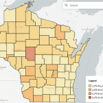
The Kids Count Data Center provides a convenient source of DHS, DPI, U.S. Census, and other data. Tables or maps for many socio-economic indicators that affect the lives of children and adults are available.
Read More...
The Kids Count Data Center provides a convenient source of DHS, DPI, U.S. Census, and other data. Tables or maps for many socio-economic indicators that affect the lives of children and adults are available.
Read More...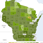
This website presents rankings by County across the U.S. of various health related topics in two categories: health factors, and health outcomes.
Read More...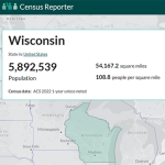
Census Reporter is a dashboard for visualizing Census data from the most current American Community Survey (ACS). Census geographies including State, County, and City can be selected using an interactive map.
Read More...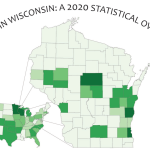
APL’s Hmong Chartbook is the most detailed information source available in regard to the Hmong/HMoob population of Wisconsin.
Read More...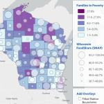
APL’s Wisconsin Risk and Reach Project assesses potential gaps between publicly funded programs and community risks especially as they relate to children and families.
Read More...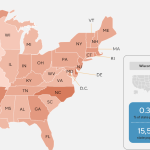
Data Interactives is a resource developed by UCLA to provide information about LGBT people in the U.S.
Read More...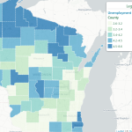
APL’s Wisconsin Food Security Project provides data to help identify food security strengths, risk factors, and gaps via socio-economic factors.
Read More...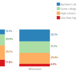
APL’s GetFacts is a tool for generating demographic profiles of Wisconsin Counties, County Subdivisions, or the State with a focus on population trends, health, housing, race and ethnicity, economics, or civil rights.
Read More...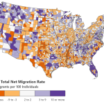
APL’s Net Migration Patterns is an interactive map showing the migration into and out of U.S. Counties disaggregated by age and race/ethnicity.
Read More...
The ACS-ED interactive mapping tool allows the user to visualize socio-economic and demographic variables from the U.S. Census ACS by school district.
Read More...