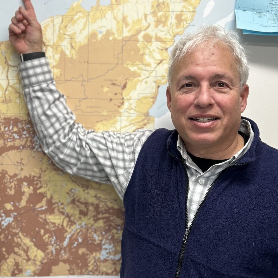
When Bayfield County received a proposal for a concentrated animal feeding operation, groundwater safety was top of mind. “Bayfield County has a long history of protecting our water resources, whether they are inland lakes, waterways, or Lake Superior shoreland areas,” said Mark Abeles-Allison, Bayfield County administrator. County supervisors realized that they needed a better understanding of the hydrogeological system to help them make informed decisions about land use and protecting their natural resources.
Tools to help with land use decisions
They turned to the Wisconsin Geological and Natural History Survey (WGNHS) of UW–Madison Extension to create a hydrogeological atlas (go.wisc.edu/bayfield-atlas), a comprehensive study of the region that includes visuals and tools so the information is easy to understand and use. Abeles-Allison says that the atlas is easy to read, so they can use it to make decisions. “It gives us an immediate visual representation to identify the areas most susceptible to contamination.” The atlas has helped elected officials, resource managers, and community members make plans for Bayfield County’s future.
As part of a new position created by the Wisconsin State Legislature, Amy Wiersma, a hydrogeologist with WGNHS, has worked directly with counties since 2023 to develop groundwater resources. Part of her work has included digitizing existing hydrogeological maps so the information that already exists is in an electronic format that is easily downloadable and readily available. When existing maps are not enough, Wiersma works with counties to design groundwater studies that update and expand their information.
Updating previous maps with new data
For many counties, updating previous hydrogeological maps is important because land use has changed over time, and new data allows for the creation of more detailed, more useful maps. That was Burnett County’s goal when they contacted WGNHS.
“It’s been 35 years. It’s about time for an update,” said Dave Ferris, the outgoing county conservationist. He was around in the 1990s, the last time hydrogeological maps were drawn. Since then, 8,000 new wells have been drilled throughout the county, and land use has changed. Emily Moore, the incoming county conservationist, is leading the charge this time. “Burnett County’s groundwater table is super high and is susceptible to contamination. We can use those maps to educate on different development standpoints,” said Moore.
Ferris and Moore said groundwater is a high priority for their county board of supervisors. “We’ve been getting excessively high groundwater, so the seepage lakes have been going way up, and people’s basements have been flooded,” said Ferris. At the same time, their office has had more questions about water quality. ““In agricultural areas, people ask if their water is safe and will it remain safe if an agricultural operation moves into the area and spreads manure.”
Studies to track water quality
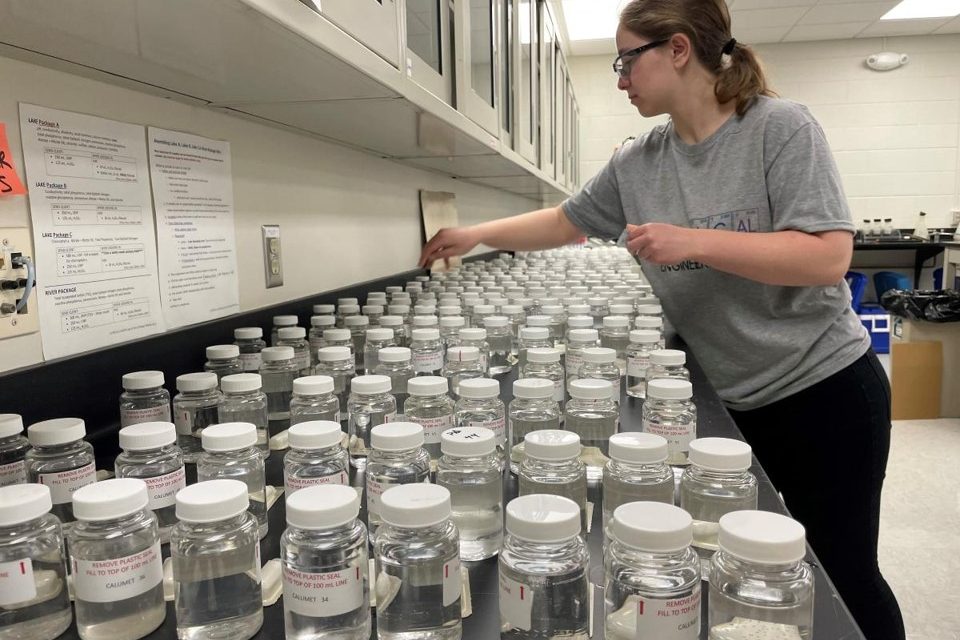
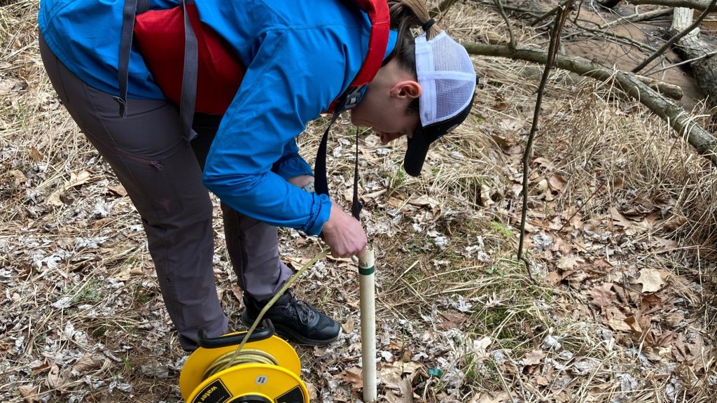
For the past year, the county has worked with Wiersma and the project team at WGNHS to develop a baseline so they can track water quality moving forward. ““We want to say, ‘Here’s what was going on in 1990 and here’s what’s going on in 2025,’” said Ferris. “It helps us question if our groundwater is getting worse or if there is an increase in pollutants.” Hydrogeological maps alone will not allow them to track water quality, so they are also working with the Center for Watershed Science and Education (CWSE) to test private wells throughout the county.
Using maps to prioritize resources
For Masarik, a big advantage of having county-level maps is prioritizing resources. If a county has limited funding for water testing, they’ll want to make sure that the people most at risk of contamination are testing their water. When there are limited funds for conservation efforts, mapping and water quality data together can help counties focus those funds. ”This would maybe give you a way to prioritize where those funds should be utilized or would have the most impact or the most benefit,” said Masarik.
“Land use changes all the time with development. And we drink water. We should know what we’re drinking and what we’re putting into the earth,” said Moore. With their new suite of maps and well water test results, Burnett County plans to find out.
To learn more, contact Amy Wiersma at amy.wiersma@wisc.edu or Kevin Masarik at kmasarik@uwsp.edu.
Data included in a comprehensive groundwater inventory
Groundwater inventories characterize groundwater resources by determining groundwater levels, identifying areas where groundwater is most vulnerable to changes in land use, and evaluating groundwater quality.
Well geo-location: The creation of GIS maps based on well construction reports to more accurately reflect the correct position of wells on the landscape.
Geological maps: The distribution of geologic materials that make up the aquifer supplying water to wells.
Water-table elevation: The level of groundwater in an aquifer.
Estimated groundwater recharge: The amount of precipitation that infiltrates into the ground and reaches the water table. Groundwater is more susceptible to contamination in areas with high recharge.
Depth to bedrock: The distance between the land surface and the top of bedrock.
Depth to water: The distance between the land surface and the water table.
Groundwater susceptibility to contamination: The likelihood that contamination from activities at the ground surface will reach the water table. Used for decision-making about land use and drinking water quality.
Well-water quality sampling: The process of testing well samples across the county to evaluate the potential impacts of land use, plumbing, and geology on groundwater quality.