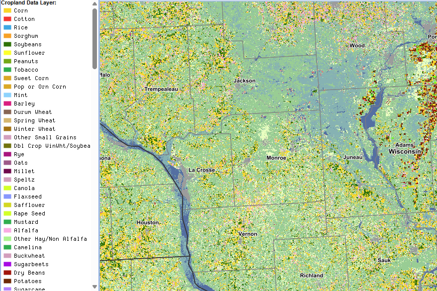
CropScape
The CropScape portal interfaces with the USDA National Agricultural Statistics Service (NASS) Cropland Data Layer (CDL). CropScape uses remote sensing, ground truthing, and special algorithms to provide a comprehensive 30 x 30 meter census of land cover. Some data layers are available back to the late 1990s. The “Change Analysis” tool can be used to compare acreage and crop shifts over time, for example.
User expertise rating:
Beginner to Intermediate. Account registration and login required. The basic functions of this tool are easy to understand. Performing analyses with the available tools within the interface may take some getting used to.
Sample questions:
How many acres of prime agricultural land in a given county have been converted to developed or urban land cover classifications over the last 10 years? Is there a measurable geographic expansion of double-cropping (e.g., Winter Wheat followed by Soybeans) in our region, and does this trend correlate with recent changes in local growing season length?