DATCP Web Maps
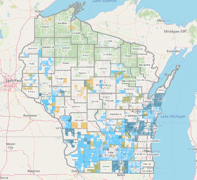
This list of web map applications from the WI Department of Agriculture, Trade, and Consumer Protection provides access to data on agricultural land-use designations and regulatory boundaries, allowing for highly localized technical assistance. Topics include specialty meat processors, farm to school programs, atrazine prohibition areas, livestock siting ordinance areas, farmland preservation, drainage districts, Ag motor vehicle requirement areas, and Gypsy moth and Emerald ash borer sites.
User expertise rating:
Beginner to intermediate. The various interactive web maps hosted by DATCP are easy to navigate and search but the topics covered may require some advanced domain knowledge for them to be useful.
Sample questions:
Which local municipalities have adopted state-standard livestock siting ordinances, and what are the specific geographic zones where these regulations apply to new or expanding animal operations? Which land parcels in a given county are located within a Farmland Preservation Area, a key requirement for claiming the Farmland Preservation Tax Credit?