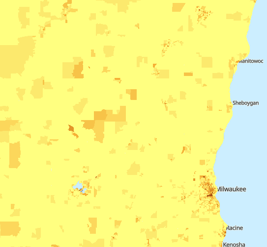
EPA Smart Location Database
The Smart Location Database, while not especially current, is designed to measure location efficiency—transportation costs and environmental impact, in particular. It includes more than 90 attributes summarizing characteristics such as housing density, diversity of land use, neighborhood design, destination accessibility, transit service, employment, and demographics.
User expertise rating:
Beginner. This interactive web map allows users to visualize numerous built-environment indicators. Some familiarity with ESRI web map navigation would be helpful.
Sample questions:
Where in Wisconsin are the most households without access to a private vehicle located? Where in Wisconsin do people live in the closest proximity to transit?