USDA Agriculture Census Web Map
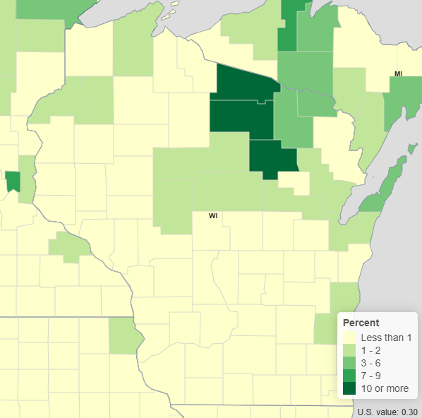
This resource offers a quick way to see the distribution of a number of variables from the 2022 USDA Census of Agriculture among the counties of Wisconsin. Pop-up menus show the values for each county.
User expertise rating:
Beginner. This web map allows users to visualize a number of USDA Census of Agriculture variables using buttons and drop-down menus.
Sample questions:
What percent of farms in a given county were operated by tenants in 2022? What was the average value of crops sold per acre of harvested cropland in a given county in 2022?