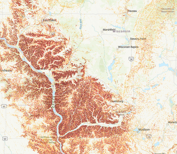
USGS Landslide Inventory and Susceptibility Tool
The USGS Landslide Inventory provides a comprehensive spatial database of documented landslides, including their locations, types, and movement characteristics. This data can help communities understand their risk to landslide events, prepare hazard mitigation plans in appropriate areas, and make decisions around sustainable forestry and agriculture practices in vulnerable areas.
User expertise rating:
Beginner. This web map is easy to navigate with a straight-forward color coding of landslide risk.
Sample questions:
Within a given county, which areas show a high density of documented landslides, and are these clusters near critical local infrastructure or residential developments? How reliable is the historical record of landslides in a given county, and where are there significant data gaps that might require local monitoring efforts?