WGNHS Mapping Status Portal
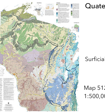
This resource from the Wisconsin Geologic and Natural History Survey conveniently gathers a large number of maps and spatial resources in one place. Click on the map to find resources by geographic area or browse by topic. Topics include surficial geology, bedrock geology and topography, water table and other groundwater maps. Links to each publication are provided.
User expertise rating:
Beginner. Users can browse by subject area or geography or search for resources by name, series, year, or other metadata.
Sample questions:
Where are the documented groundwater springs located within a specific watershed? How do the glacial landforms mapped across the region explain the historical development of local sand and gravel pits or variations in agricultural soil drainage?