County Profiles
County Profiles, available exclusively to Extension colleagues with NetID login, contain data from public sources on each county in Wisconsin. Topics include demographics, health, employment, language, and economics.
Read More...
County Profiles, available exclusively to Extension colleagues with NetID login, contain data from public sources on each county in Wisconsin. Topics include demographics, health, employment, language, and economics.
Read More...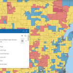
The Resilience Analysis and Planning Tool (RAPT) allows users to combine layers of community resilience indicators, infrastructure locations and hazard data. Users can visualize community resilience challenges to inform decisions around preparedness, mitigation, response and recovery.
Read More...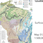
This resource from the Wisconsin Geologic and Natural History Survey conveniently gathers a large number of maps and spatial resources in one place. Click on the map to find resources by geographic area or browse by topic.
Read More...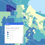
The EPD maps five categories of socioeconomic and demographic Census data at the County, County Subdivision, Tract, and Block Group levels, and includes a number of community assets for additional local context.
Read More...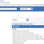
The U.S. Census’ QuickFacts site provides a customizable table of common demographic and socio-economic statistics for the U.S., individual States and Counties, or cities and towns with populations of more than 5,000 people.
Read More...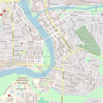
OpenStreetMap is a free and open geographic database of the built environment maintained and updated by a community of professionals and enthusiasts.
Read More...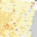
EJScreen, the EPA’s Environmental Justice Screening and Mapping Tool is designed to highlight places that may have more exposure to health-impacting environmental risks and under-resourced or more vulnerable populations.
Read More...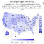
Disability Statistics is a state-level database designed to provide policy makers, advocates, journalists, and the public with access to demographic and socio-economic statistics on the non-institutionalized population of the U.S. with disabilities.
Read More...
PolicyMap makes one of the most extensive lists of demographic and socio-economic variables accessible in one place—at nearly every level of geography imaginable. Current Census data exists alongside historical data of various types.
Read More...
StatsAmerica is an extensive and up-to-date collection of data and indices related to economic and community development. The site is also a handy source of Census and other federal data at the County, Place, or MSA level.
Read More...