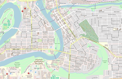
OpenStreetMap
OpenStreetMap is a free and open geographic database maintained and updated by a community of professionals and enthusiasts. The data includes transportation features such as streets, railroads, walkways, trails, and cycle paths, in addition to natural features, public space, land uses, businesses, shops, building footprints, local amenities, and other points of interest. The map can be used as is or its data can be downloaded for use in other software applications.
User expertise rating:
Beginner to Intermediate. Navigating the map or finding points of interest and amenities are simple operations. Downloading data or contributing to the map are more complicated tasks.
Sample questions:
Are the sidewalks in your community represented accurately? Where is Pattison State Park?


