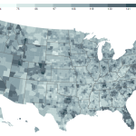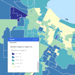
Equitable Program Development Dashboard
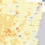
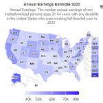
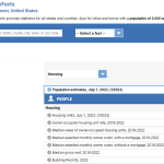
The EPD maps five categories of socioeconomic and demographic Census data at the County, County Subdivision, Tract, and Block Group levels, and includes a number of community assets for additional local context.
Read More...