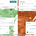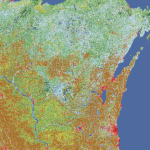
Multi-Resolution Land Characteristics
The Multi-Resolution Land Characteristics consortium provides users with high-resolution, longitudinal data on land cover, enabling them to track how landscapes have transformed over several decades.
Read More...