LEHD
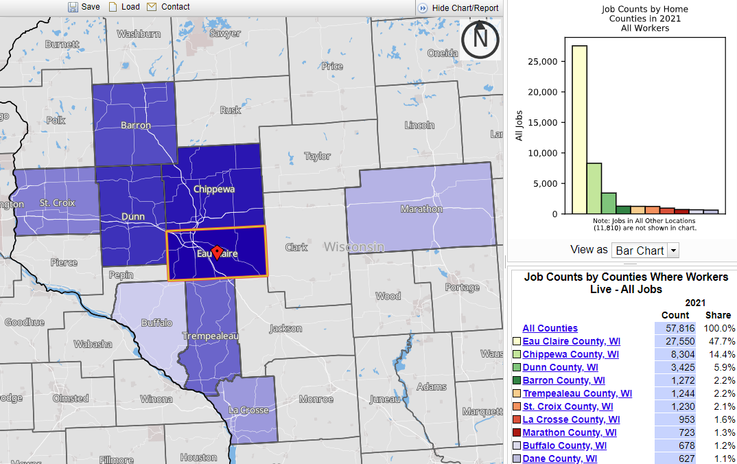
This resource is instrumental in understanding labor market dynamics in the U.S. LEHD data consists of job mobility, commuting characteristics, and quarterly workforce indicator datasets that are available at multiple geographic levels including State, County, Census Tract, Census Block, and Metropolitan Statistical Area. LEHD data can be visualized directly using the Census’ OnTheMap interactive tool.
User expertise rating:
Advanced. This resource offers raw data that can be used to perform various analyses using other applications.
Sample questions:
Where in the state do certain industries cluster? What are the demographic characteristics of workers commuting to a specific region?


