FEMA Resilience Analysis and Planning Tool
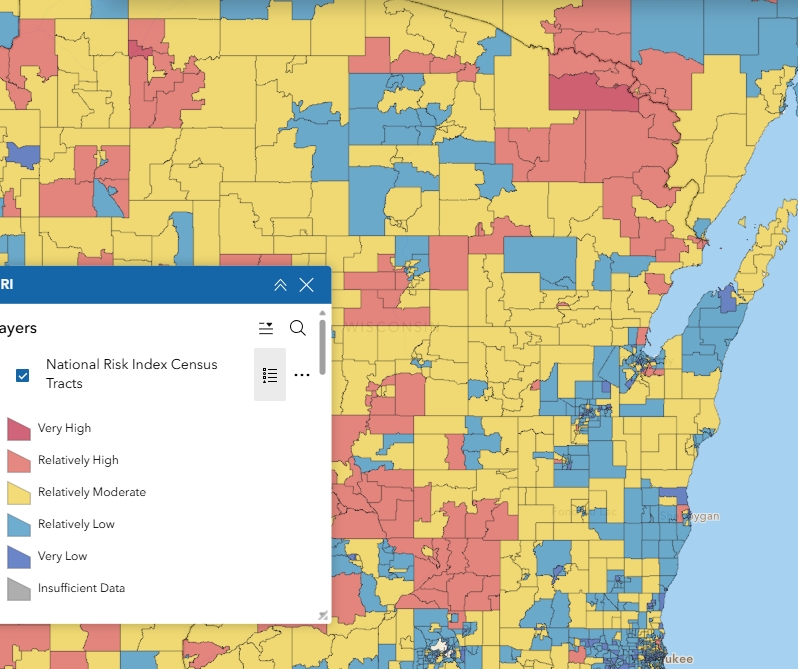
The Resilience Analysis and Planning Tool (RAPT) allows users to combine layers of community resilience indicators, infrastructure locations and hazard data. Users can visualize community resilience challenges to inform decisions around preparedness, mitigation, response and recovery. FEMA’s risk index is calculated by evaluating a county’s expected financial loss from natural hazards, social vulnerability, and community resilience. Financial loss could be due to natural hazards such as extreme cold, drought, heat, hail, storms, fire, wind, flooding and others. Social vulnerability is tracked by the CDC’s Social Vulnerability Index (SVI). According to FEMA “Community resilience is the ability of a community to prepare for anticipated natural hazards, adapt to changing conditions, and withstand and recover rapidly from disruptions.” The tool also contains information specific to individual hazards such as cold, heat, flooding, drought, wind, and hail, and an extensive catalog of infrastructure point layers.
User expertise rating:
Beginner to intermediate. This web map is easy to navigate and includes links to definitions of each of the risk measures. The data contained in this resource is extensive. Approaching it with well formulated questions to be answered may be helpful.
Sample questions:
What is the expected annual loss to the agriculture industry in a given county due to natural hazards? How does community resilience in a given county compare with the national percentile? Where are the fire stations in a given community?