GeoPlatform.gov
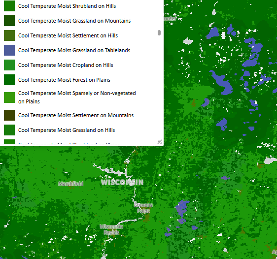
This resource, access to which is limited to account holders (sign up is free), brings together geospatial data coordinated by several Federal Agencies. Topics include ecosystems, geology, soils, climate, cultural resources, transportation, and many others. This resource brings together data generally available elsewhere into a convenient package.
User expertise rating:
Beginner to intermediate. The data available from this resource is far reaching and comprehensive. Some domain-specific knowledge will be helpful for navigation and interpretation.
Sample questions:
How many properties in Wisconsin are listed on the National Register of Historic Places? How many dams are there in Richland County?