EPA’s EJScreen
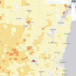
EJScreen, the EPA’s Environmental Justice Screening and Mapping Tool is designed to highlight places that may have more exposure to health-impacting environmental risks and under-resourced or more vulnerable populations.
Read More...
EJScreen, the EPA’s Environmental Justice Screening and Mapping Tool is designed to highlight places that may have more exposure to health-impacting environmental risks and under-resourced or more vulnerable populations.
Read More...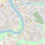
OpenStreetMap is a free and open geographic database of the built environment maintained and updated by a community of professionals and enthusiasts.
Read More...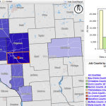
This resource is instrumental in understanding labor market dynamics. LEHD data consists of job mobility, commuting characteristics, and quarterly workforce indicator datasets.
Read More...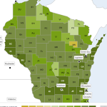
This website presents rankings by County across the U.S. of various health related topics in two categories: health factors, and health outcomes.
Read More...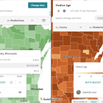
The Social Explorer, available with a UW NetID login, allows the user to access and map an extensive list of demographic, socio-economic, health, environmental, business, and election data sets.
Read More...